THINGS TO DO IN BLOWING ROCK
Endless Possibilities
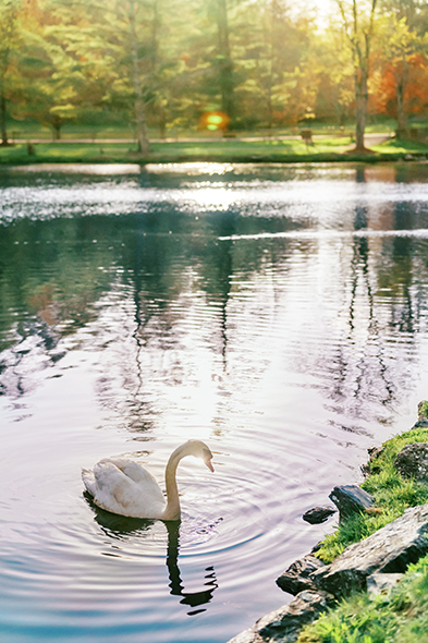
Uncover a world of wonder at Chetola Resort and in charming Blowing Rock—where every season brings iconic moments, spirited events, and rich adventures set in the allure of the Blue Ridge.
EVENTS CALENDAR